Partners of the 3D ABC Project
In the 3D-ABC Foundation Model project, partners from six centres of the Helmholtz Association of German Research Centers (HGF) are developing a foundation model focusing on a seamless quantitative understanding of the current state of global terrestrial carbon stocks in forests and soils. 3D-ABC combines HPC and AI resources as well as domain expertise from AWI, GFZ, UFZ, DLR, FZJ, and HZDR to use remote sensing image datasets, climate, and field datasets containing 2D and 3D information on terrestrial carbon stocks. 3D-ABC builds strongly on HGF-associated datasets including products from the TanDEM-X radar mission, large airborne and field-based lidar datasets, and process-based models.
AWI
GFZ
UFZ
FZJ
HZDR
DLR
Alfred Wegener Institute Helmholtz Centre for Polar and Marine Research (AWI)
AWI is leading the 3D-ABC effort and contributes research expertise in Arctic-Boreal permafrost region carbon stocks in soils and vegetation as well as remote sensing of land cover and disturbances.
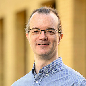
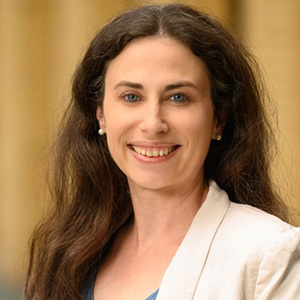
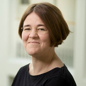
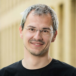
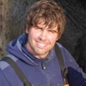
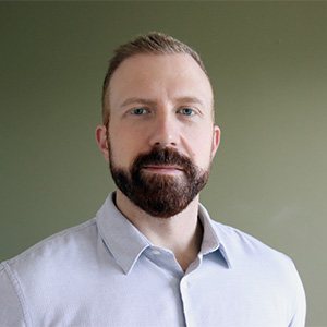
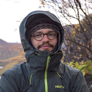
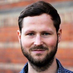

Photos of G. Grosse, T. Lübker, L. van Delden, U. Herzschuh, and I. Nitze: copyright by Kerstin Rolfes
Guido Grosse is a Full Professor on Permafrost in the Earth System jointly appointed by AWI and the University of Potsdam and head of the Permafrost Research Section at AWI. His research focuses on a combination of field studies and remote sensing of landscape dynamics across broad spatial and temporal scales, hydrology, carbon cycling, and the impacts of climate change in Arctic permafrost regions. He is also lead of the Permafrost Remote Sensing working group at AWI and strongly interested in machine learning and AI applications to foster research of climate change impacts in Arctic-Boreal regions.
Tillmann Lübker is a Research Associate at AWI where he contributes to the Permafrost Remote Sensing Group. He holds a PhD from the Technical University of Dresden, completed in cooperation with the Karlsruhe University of Applied Sciences. At the intersection of technology and geoscience, he works as a Spatial Data Scientist, bringing expertise in cartography, geoinformatics, spatial data analysis, remote sensing, and user interface design. His professional experience also includes project management. In his current role within the 3D-ABC project, Tillmann is responsible for project coordination.
Lona van Delden is a Research Associate and Manager at AWI managing the Permafrost Region Greenhouse Gas Flux Group. She received her PhD in environmental science from the Queensland University of Technology (QUT), Australia. Her research background is in soil science, biogeochemistry and greenhouse gas emission dynamics across various climates, ecosystems and seasons. She is currently involved in the development of drone supported CO2 and CH4 measurements for hard-to-reach areas such as the Arctic and wetlands. Lona is coordinating the 3D-ABC project, providing the project consortium’s liaison with projects partners and the Helmholtz association.
Ulrike Herzschuh is a Full Professor on “Statistical Integration of Palaeoenvironmental Data” at the Institute for Environmental Science and Geography and at Institute for Biochemistry and Biology, University Potsdam, Germany and head of the Polar Terrestrial Environmental Systems Section at AWI. With her main research interests in Ecosystem Changes on decadal to glacial/interglacial time-scales, ancient DNA and pollen analysis, and Artic and boreal vegetatgion dynamics she was awarded the Gottfried Wilhelm Leibniz-Preis in 2024. Ulrike Herzschuh is also the head of the High-latitude Biodiversity working group with a research focus on ancient DNA, environmental data sciences, carbon in marine and terrestrial systesms and data science applications.
Ingmar Nitze is a remote sensing scientist in the Permafrost Research Section at the Alfred Wegener Institute Helmholtz Centre for Polar and Marine Research. He has a background in geography and remote sensing with a focus on technical applications. His research focuses on understanding and predicting rapid landscape dynamics and disturbances in terrestrial Arctic environments. Ingmar uses machine- and deep-learning techniques to analyze spatial and earth observation data across different scales. He is interested in leveraging the latest technology to tackle environmental and data analysis challenges.
Jens Strauss is a geoecologist who heads the working group on Permafrost Biogeochemistry of the Permafrost Research Section at AWI. He has specialized in deep ice-rich permafrost and his research strives to determine the size of the organic carbon pool frozen in permafrost, the quality of this carbon, and the speed at which it may be broken down by microorganisms and released in the form of greenhouse gases if it thaws. His field research serves as a basis for models that calculate the quantities of carbon dioxide and methane naturally emitted in the event of large-scale permafrost thawing.
Josh Hashemi is a Earth System scientist in the Permafrost Research Section at the Alfred Wegener Institute Helmholtz Centre for Polar and Marine Research. He earned his PhD in Landscape Ecology from the University of California, Davis, with a focus on greenhouse gas dynamics and in-situ measurement techniques. His research interests include Arctic landscape ecology, wetland morphology, remote sensing, and the application of machine learning to spatial modeling. His work combines field observations and computational methods to study permafrost systems and their role in the global climate system.
Friedrich Röseler is a Physical Geographer working on Arctic permafrost carbon mapping at AWI Potsdam. His expertise lies at the intersection of remote sensing, geo-information, Earth system science, and geospatial modelling. He is particularly interested in assessing and mapping the spatial and temporal variability of environmental variables at different scales. This connects to his passion for Big open geospatial data analysis and Open Source software development. He believes that an integrated research practice is significant to capture the effect of complex relationships between components of the climate system.
Stefan Kruse is a Postdoctoral Scientist working in the Polar Terrestrial Environmental Systems Section at the Alfred Wegener Institute, Helmholtz Centre for Polar and Marine Research. He obtained his PhD from the University of Potsdam, where his research focused on latitudinal treeline dynamics, combining knowledge from population genetics and calibrating the individual-based model LAVESI that he had developed himself. His research is focused on reducing uncertainties arising from non-linear relationships and time lags in ecological systems, with a particular emphasis on their implications in the context of global warming.To this end, he employs a multidisciplinary approach, encompassing fieldwork, the collection of tree measurements, and forest stand structure analyses. His research also involves the integration of dendrochronological insights and sensor data collection, as well as the use of remote sensing techniques at various spatial scales, with a particular focus on drone laser scanning.
Birgit Heim is a remote sensing scientist in the Polar Terrestrial Environmental Systems Section at the Alfred Wegener Institute, Helmholtz Centre for Polar and Marine Research. She obtained her PhD at the University of Potsdam in Geology and Remote Sensing, where her research focused on terrestrial carbon input into Lake Baikal Siberia further extending her projects as PostDoctoral researcher in remote sensing studies on carbon input from permafrost into Arctic coastal waters, combining knowledge from operational optical remote sensing and biogeochemistry. Birgit Heim was then responsible for remote sensing projects on permafrost and highlatitude vegetations, with main funding from the European Space Agency (ESA) and BMBF.
GFZ Helmholtz Centre for Geosciences (GFZ)
GFZ is one partner bringing the expertise of LiDAR data processing and domain knowledge (tree height and above-ground biomass estimation) to the 3D-ABC project.
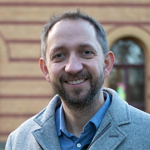

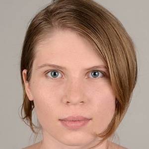
Martin Herold is a Professor and section head (Remote Sensing and Geoinformation) of German Helmholtz Research Centre for Geosciences (GFZ) in Potsdam, Germany. Since his PhD (2004), he has been working on the large-area monitoring of land dynamics integrating satellite and ground-based data streams from a scientific and user needs perspective. Martin has published more than 340 scientific papers, is in the top 1% cited scientists in the field, enjoys supervising PhD students and post-docs, supporting capacity development initiatives, and has acted as a lead author of the 2019 IPCC Good Practice Guidelines refinement. More info here.
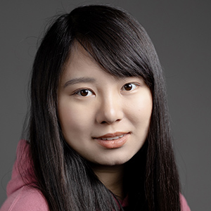
Qian Song is a Postdoctoral scientist at the Helmholtz Centre for Geosciences. Her research interests are airborne lidar processing and deep learning for biomass estimation and forest monitoring, remote sensing. Her role in this project is preparing land use land cover and biomass data to support downstream tasks.
Simon Besnard is a senior researcher in the Global Land Monitoring Group at the GFZ Helmholtz Centre Potsdam. His research focuses on understanding terrestrial ecosystems' past, current, and future dynamics and their feedback on environmental conditions. He has vast knowledge in developing and applying new methods to extract information from a large amount of EO and climate data to understand better ecosystem functioning in an ongoing changing climate. His work aims to answer questions related to the role of climate and vegetation variation in shaping biogeochemical cycles. His research activities have reduced the uncertainties in estimating land-atmosphere carbon fluxes, though significant uncertainties remain. Currently, he is investigating forest structure changes over the past decade and providing evidence for the co-variation between the carbon cycle and forest dynamics.
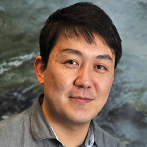
Mikhail Urbazaev is a Research Associate at the Helmholtz Centre for Geosciences (GFZ). His research focuses on the synergetic use of lidar, synthetic aperture radar, and optical remote sensing data for estimation of aboveground biomass and vegetation structural parameters across different biomes.
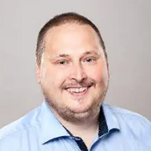
Mike Sips is a Senior Researcher and Head of the Big Data Analytics and Explainable AI research team. His research focus on developing novel methods for domain-specific scenarios by applying data mining techniques and machine learning algorithms to domain-specific challenges, Explainable Artificial Intelligence (XAI), and developing computational methodologies for big data. His is a strong advocate of Open Science because he is committed to making research accessible by publishing systems and papers as open-source, fostering their adoption and dissemination within the scientific community. He is a member of IEEE and ACM.
Yulia Grushetskaya is a junior researcher at the Helmholtz Centre for Geosciences (GFZ), specializing in Explainable AI (XAI). Her work focuses on developing novel XAI methods tailored for geoscience applications, enhancing model transparency and addressing domain-specific explainability challenges.
Helmholtz-Centre for Environmental Research (UFZ)
UFZ contributes insights into forest state space and is responsible for the linking the model insights from remote sensing data to carbon balance estimations.
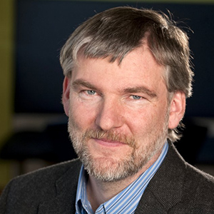
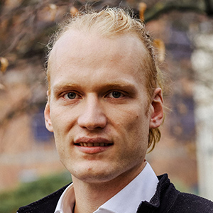
Andreas Huth is a Professor at the Department for Ecological Modelling, UFZ and the Institute for Environmental Systems Research, University of Osnabrück. Focus areas are individual based modelling of complex ecosystems, biodiversity and carbon balances. Additionally, remote sensing, linking remote sensing and ecological modelling and physiological processes in vegetation ecosystems.
Leonard Schulz is currently researching the synergy between forest models and remote sensing data (TanDEM-X, GEDI).
Forschungszentrum Jülich (FZJ)
FZJ provides expertise in utilizing computational power for large-scale training, benchmarking, and fine-tuning. The center plays a key role in optimizing the 3D-ABC AI-algorithms on High Performance Computing (HPC) systems, with a strong focus on resource efficiency and scalability.
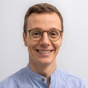
Gabriele Cavallaro is the Head of the “AI and ML for Remote Sensing” Simulation and Data Lab at the JSC and an Adjunct Associate Professor with the School of Natural Sciences and Engineering, University of Iceland, Iceland. From 2020 to 2023, he held the position of Chair for the High-Performance and Disruptive Computing in Remote Sensing (HDCRS) Working Group under the EE GRSS Earth Science Informatics Technical Committee (ESI TC). In 2023, he took on the role of Co-chair for the ESI TC. Concurrently, he serves as Visiting Professor at the Φ-lab within the European Space Agency (ESA), where he contributes to the Quantum Computing for Earth Observation (QC4EO) initiative. Additionally, he has been serving as an Associate Editor for the IEEE Transactions on Image Processing (TIP) since October 2022. He is a senior member of IEEE.
Rocco Sedona is the Deputy Head of the “AI and ML for Remote Sensing” Simulation and Data Lab at the JSC in Germany. His research interests primarily lie in the field of Deep Learning and its application to Remote Sensing data. He has extensively utilized optical satellite data acquired by Landsat (NASA) and Sentinel (ESA) missions towards near real-time land cover classification. Additionally, he specializes in Distributed Deep Learning on High-Performance Computing systems, an area of study that he has been actively engaged in since 2019.
Ehsan Zandi is a Postdoc researcher at “AI and ML for Remote Sensing” Simulation and Data Lab at the JSC in Germany. He finished his PhD from RWTH Aachen University in the field of "Communication Engineering" with a focus on "Information Theory", "Optimization Theory", and "Numerical Simulation". With over 7 years of job experience in pioneer companies such as "Ericsson System and Services", "Huawei" and "Deutsche Telekom" and being a seasoned software developer, he is interested in deploying techniques of resource-efficient AI in the area of Remote Sensing and HPC.
Samy Hashim is a PhD Researcher in Electrical and Computer Engineering at “AI and ML for Remote Sensing” Simulation and Data Lab at the JSC in Germany, jointly with the University of Iceland. He received a B.Sc. degree in Smart Technologies from the University of Groningen, Netherlands, and a M.Sc. degree in Computer Science from University of Leiden, Netherlands, in 2022 and 2024, respectively. He is currently working toward the Ph.D. degree in Electrical and Computer Engineering with Forschungszentrum Jülich, Germany, and University of Iceland, Reykjavik, Iceland. His main research interests include data-centric green AI and space satellite image analysis.
Sayan Mandal is a PhD Researcher at “AI and ML for Remote Sensing” Simulation and Data Lab at the JSC in Germany, jointly with the University of Iceland. His main research interests include developing robust deep learning models for remote sensing applications, foundation models and exploring AI efficiency, using HPC systems. He received his B.Tech. in Computer Science from University of Petroleum and Energy Studies, India, in 2017 and M.Sc. in Computer Science, with distinction, from Technische Universität Graz, Austria, in 2024. Before joining Masters, he worked in the field of Computer Vision for over 4 years with two leading startups in India.
Helmholtz-Zentrum Dresden-Rossendorf (HZDR)
HZDR is a leading research institution dedicated to long-term, application-oriented cutting-edge exploration in energy, health, and matter, uncovering fundamental natural phenomena. HZDR applies its expertise in machine learning to develop the multi-modal 3D-ABC foundation model.
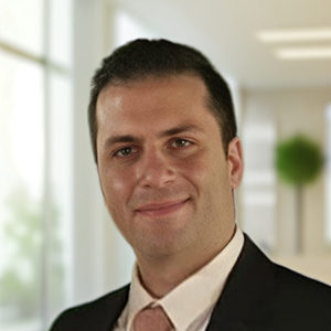
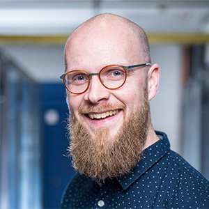

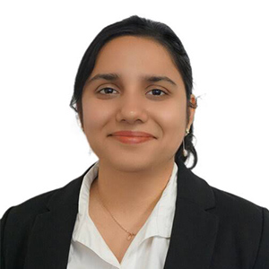
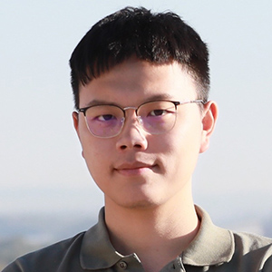
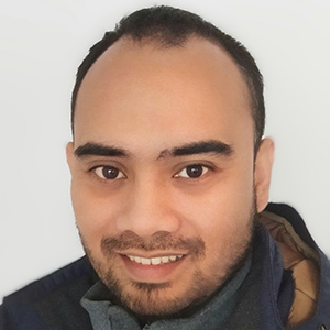
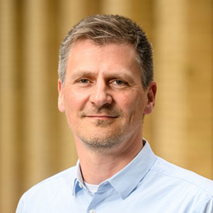
Photo of P. Steinbach: copyright by HZDR / A. Wirsig
Pedram Ghamisi is (1) Head of the Machine Learning Group at Helmholtz-Zentrum Dresden-Rossendorf (HZDR), Germany, and (2) Visiting Full Professor at Lancaster University, UK. Previously, he was Senior Principal Investigator, Research Professor, and Group Leader of AI4RS at the Institute of Advanced Research in Artificial Intelligence (IARAI), Austria. Additionally, he co-founded and served as the CTO of VasogNosis, a startup company based in the U.S. with branches in Milwaukee and California. His research focuses primarily on deep learning for remote sensing applications, with particular emphasis on Open Science, AI for Good, Responsible AI, and AI Security, playing a key role in advancing the AI4EO era.
Peter Steinbach received his PhD in Particle Physics in 2012 from TU Dresden (Germany) for an experimental study of LHC data using the ATLAS experiment to reduce background contributions to Higgs Particle searches. He continued to industry as a HPC support and software engineer helping scientists push the limits of their applications in a service oriented group at the Max Planck Institute for Molecular Biology and Genetics. In this role, he became increasingly exposed to Deep Learning applications for vision applications in biology. In 2019, he started to lead a group of Helmholtz AI consultants at Helmholtz-Zentrum Dresden-Rossendorf. The team's has a mandate to help scientists from the research field matter within the Helmholtz association to use machine learning in experiment and theory. Peter is an avid open-source enthusiast, reproducibility evangelist and volunteer lecturer at TU Dresden.
Richard Gloaguen received the Ph.D. degree “Doctor Communitatis Europae” in marine geosciences from the University of Western Brittany, Brest, France, in collaboration with the Royal Holloway University of London, U.K., and Göttingen University, Germany, in 2000. He was a Marie Curie Post-Doctoral Research Associate at the Royal Holloway University of London from 2000 to 2003. He led the Remote Sensing Group at University Bergakademie Freiberg, Freiberg, Germany, from 2003 to 2013. Since 2013, he has been leading the division “Exploration Technology” at the Helmholtz-Institute Freiberg for Resource Technology, Freiberg. He is currently involved in UAV-based multisource imaging, laser-induced fluorescence, and non-invasive exploration. His research interests focus on multisource and multiscale remote sensing integration using computer vision and machine learning.
Gunjan Joshi is a Research Scientist at Helmholtz-Zentrum Dresden-Rossendorf (HZDR), where she is a part of the Helmholtz AI group. She earned her PhD in Electrical Engineering and Information Systems Engineering from the University of Tokyo, Japan with a focus on development of Explainable AI algorithms with application to cryosphere and natural disaster monitoring.
Weikang Yu is a PhD student at Helmholtz-Zentrum Dresden-Rossendorf (HZDR) and Technical University of Munich (TUM). His main research interests are time-series remote sensing data analysis.
Aldino Rizaldy is a PhD student at the Helmholtz-Institute Freiberg for Resource Technology, Helmholtz-Zentrum Dresden-Rossendorf and Remote Sensing and Geoinformatics, Freie Universität Berlin. He received his M.Sc. degree in Geoinformation from Faculty ITC, University of Twente, The Netherlands. His main research interests are deep learning, computer vision, 3D point cloud, lidar and photogrammetry.
German Aerospace Center (DLR)
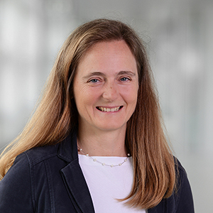
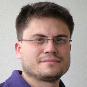
Irena Hajnsek is since November 2009 Professor of Earth Observation at the Swiss Federal Institute of Technology (ETH) Zürich Institute of Environmental Engineering and at the same time head of the Polarimetric SAR Interferometry research group at the German Aerospace Center Microwaves and Radar Institute. Her main research interests are in electromagnetic propagation and scattering theory, radar polarimetry, SAR and interferometric SAR data processing techniques, environmental parameter modelling and estimation. She received her Dipl. degree in the topic of fluvial river systems (Honors) in 1996 from the Free University of Berlin, Germany and the Dr. rer. nat. degree (Honors) in model-based estimation of soil moisture from fully polarimetric Synthetic Aperture Radar in 2001 from the Friedrich Schiller University of Jena, Germany. In 2024 she has been awarded with the Doctor degree honoris causa from the University of Oslo, Norway for her outstanding contributions to science, including the development of algorithms using innovative radar techniques for environmental parameter estimation and setting requirements for the design of future radar missions in application areas as permafrost, glaciers, disaster management, agriculture, and climate change impacts. Since 2010 she is the science coordinator of the German satellite mission TanDEM-X. Currently she is a member of the European Space Agency Mission Advisory Group for the ROSE-L Mission.
Matteo Pardini is a research scientist in the Radar Concepts Department of the Microwaves and Radar Institute in the Deutsches Zentrum fur Luft- und Raumfahrt (DLR), Oberpfaffenhofen, Weßling, Germany. His research interests include synthetic aperture radar (SAR) tomographic and polarimetric interferometric processing for 3-D bio/geophysical information extraction over natural volumes (forest, agriculture, and ice), SAR mission design, and SAR mission performance analysis.


